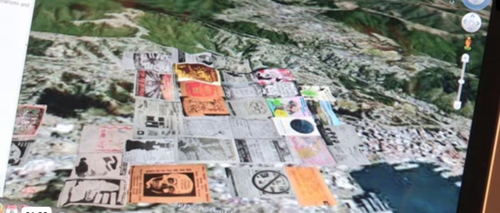
This fortnight’s repository highlights the Ngāi Tahu cultural atlas, Kā Huru Manu. Cultural mapping is nothing new but more recent technologies have been adapted by Māori to help share cultural information. Cultural mapping can include visual, audio and multi-media dimensions (sometimes interactive), to aid the retelling of stories, mapping histories and sharing information.
I was lucky enough to do a cultural mapping course with Dr Ocean Mercier at Vic uni and it blew my mind. As your typical “arty” person, I’d struggled with scientific stuff. But put in a context where it directly related to things I was interested in – from tribal histories thru to punk shows – I was not only able to understand the importance of mapping, data and scientific thought, but actually engage in and enjoy it. I’ve since come to realise from my scientifically-inclined friends that science is indeed a creative pursuit very much akin to the creativity of artists and musicians.

Ocean’s ability to show how western science and indigenous knowledge can work in valued unison quickly shed any outdated colonial notion I had of western science and indigenous knowledge dissonance. They can work well together if done well. Yet another colonial assumption to chuck in the bin.
Ngāi Tahu have created an online cultural atlas much in the same vein as the cultural maps we were creating with Ocean. I love how you can interact with it, and the level of detail contained in this format. I think it’s very intuitive for Māori, where our whakapapa is cemented in place – maunga, awa, moana – No whea koe?
It’s a way of presenting information that plants stories and histories in place. That you can choose where you want to look gives the viewer agency, rather than being fed a linear narrative. And I’m a big advocate for that. We need more ways of looking at the world than the monocultural methods too often leaned on by our school systems.

